
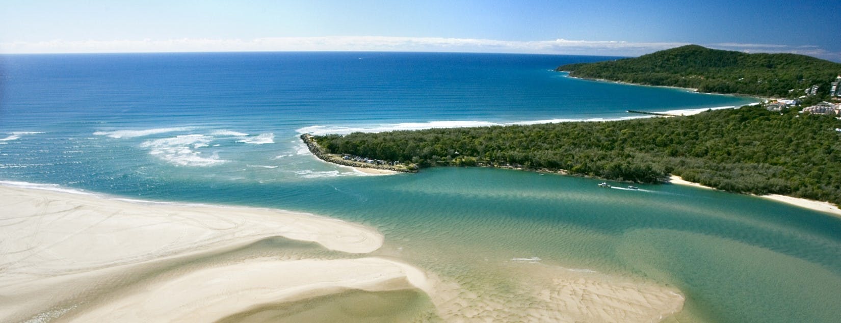
Coastal Mapping Consultation
Council has commenced a further round of consultation on this project, this time to present the coastal hazard mapping.
A number of activities form part of the current consultation. Meetings have been held with residents whose properties are included within the mapped coastal erosion areas. Pop ups were held Sunshine Beach and Peregian Beach on the weekend and these were well attended with more being held on Saturday 12 May at Noosa Junction (8.30-10.30am) and Noosaville foreshore (11.30-1.30pm) near Thomas Street corner.
Share Coastal Mapping Consultation on Facebook
Share Coastal Mapping Consultation on Twitter
Share Coastal Mapping Consultation on Linkedin
Email Coastal Mapping Consultation link
Consultation has concluded. Council thanks the community for your contribution to this consultation.
